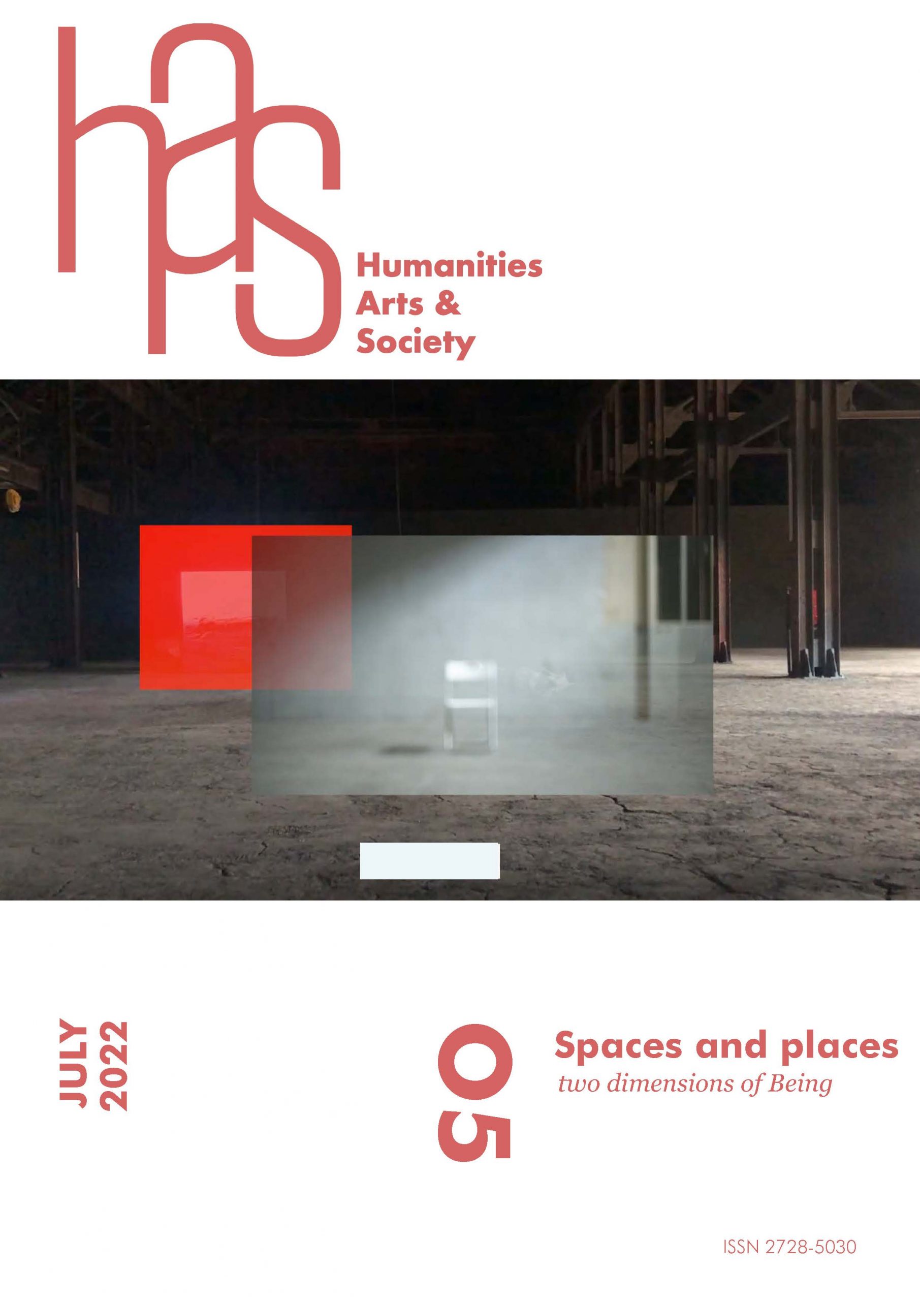
In dialogue with Neon, The fire in the cities, a video piece by Lisi Prada.
We are used to the idea of the “city” as being subject to certain forms, rules, and characteristics, but, depending upon the various cultures that have settled on our planet through time, this idea has embraced different modes and aspects. This paper focuses on a very different way of “living the city,” provided by the settlements in the Maya area, offering a brief overlook of what the Maya city was, showing the many ways in which it differed from the European one and how it was transformed by the arrival of the Spanish conquistadores and European culture.
The Maya City
The Maya city arose in the Middle Preclassic Period (1000-400 BC) with very specific characteristics that clearly distinguish it from the European city. Its main aspect, in fact, is dispersion. In this part of the world, urbanism did not express itself through the creation of an enclosed space, sharply separated from what is “non-urban,” as happens in Europe. On the contrary, settlements are composed of a multitude of architectonic groups that are more or less large, having different forms and dimensions, interspersed by milpa fields and areas of forest, creating a unique combination of the natural and the anthropic aspect.
The Maya city was born in a heterogeneous area in terms of geomorphology, and the local territorial assets clearly influenced the forms and the Maya ways of abiding, but without modifying its most pure essence—dispersion. Water has always been a fundamental element for life and, especially in the Maya area, it acquired an even greater value, since the land is poor in this precious asset in many of its parts, particularly in the northern lowlands. So, attractions for settling could be, for example, the areas surrounding sinkholes, as happens at Dzibilchaltún or Chichén Itzá. In other cases, settlers could take advantage of the presence of one or more streams or lakes, as happens at Palenque, Cobá, or Copan. Sometimes, a given asset clearly shows the political control of these precious water sources. In other instances, private water use is confirmed by its location, for example inside a residential unit.
For other settlements, proximity to the sea has been the reason for choosing a specific place, like Xcambó,1 Tulum,2 or the settlements in the Postclassic region of Chikinchel, Yucatan.3 The sea gave access to many marine resources, including salt. Moreover, it granted access to the commercial route that, from the Mexican basin through Veracruz, arrived in Honduras. In other cases, it was access to a precious and rare good that determined the selection of a particular site, for example Kaminaljuyú for obsidian,4 the towns on the Rio Montagua basin for jade5, or Comalcalco for cocoa production.
Architectonical units in the space could spread around for miles and miles, as in Tikal,6 or be more enclosed, with buildings close to each other, as in Chunchucmil,7 or they could have some specific pattern. For example, Maya cities located near streams of water tend to have an elongated form, like Yaxchilan8 and Lamanai.9
As often happens, in many regions of the world, topography played an extremely important role in determining the spaces of the Maya city, which created an osmosis between nature and built, anthropic space. Nature was transformed by human hands and, at the same time, influenced human action. So, on the one hand, the presence of fertile lands, access to water supply, proximity to the best raw materials, good geographic conditions, and strategic connections to regional and international trade routes have often been the reasons why a place is chosen to be inhabited, on the other hand, altimetry and geomorphology have been first causes in determining the position of architectural groups. In fact, it was not just important to keep the buildings of the Maya city far from depressions and flood areas—it was also useful to keep the most fertile lands under cultivation, so that, usually, the most massive, civic-ceremonial groups were positioned in the upper areas while residential buildings were lower, near the fields, or gathered in small, more or less dispersed groups. This happened not only in the morphologically complex Southern Maya Lowlands, but also in the flat Northern Lowlands, where cities such as T’Hó10 or Xoclán took advantage of the lowest elevations to locate their squares and their civic-ceremonial buildings.
A peculiarity of Maya urbanism is that discontinuity is also present inside the civic-ceremonial areas, which can be separated from each other, fragmenting the public space into a series of different physical places, sometimes having great urban complexity. The presence of multiple plazas and civic-ceremonial complexes is a quite common phenomenon, in both important capitals and minor settlements.
Dispersion also created different networks and connections inside the settlements, so physical proximity itself was not the only instrument to identify connections, and it could happen that architectonic groups further afield were better connected and more reachable than others that were closer to each other. The creation of sacbeo’ob—Maya-built, elevated roads—drew preferential routes in the urban space, facilitating connections and creating a quick link between two or more urban points. Since many of these roads are raised above the ground, they have specific points of access, and are not easy—or are impossible—to access from other points. For example, a few meters south of the sacbé 1 in Dzibilchaltún11 is a small residential group, but there is no entrance to the sacbé at this point. The group remained completely isolated with respect to this road that represented the main connection route between the main square and the temple of the Seven Dolls, as the sacbé was just too high to climb over.
However, we should not imagine the Mayas were using only sacbeo’ob to move around the city. Other routes always existed, that is paths directly on the ground. They were impermanent and mutable, and required continuous maintenance, or they were opened again and again with machetes depending upon the need. They often tended to disappear between seasons due to the speed with which vegetation grows in these lands, and had to be reopened. They could also present a series of problems, especially in the rainy season, when many of them tended to flood, even in relatively dry regions such as Yucatan.12 This seems to have created a dichotomy of trails in the Maya cities—on one hand the sacbeo’ob, built and stuccoed, functioning as preferential routes inside the city, and on the other hand the network of dirt roads, born from use, dealing continuously with the growth of secondary vegetation which could make the passage very challenging or prevent it entirely. It is due to this division in routes that we often read that the sacbeo’ob had a mainly religious function. Even if, of course, sacbeo’ob held processions, parades, and ceremonial events, it seems evident that their main purpose was functional, allowing connections between different architectonic groups (or settlements) for better and more comfortable transfer.
“Neon, The fire in the cities”, Lisi Prada (2011)
The colonial city
The history of the Maya city lasted more than two and a half millennia before facing European culture and being completely transformed by it. When the Spaniards reached these populations, the Mayas lived in the same settlement modes that had characterized their entire history. At those times, many cities of the Classic period had been depopulated, but many continued to be used for religious purposes—a phenomenon well known in Yucatan, in settlements such as Uxmal or Chichén Itzá.13 The population was politically divided into a series of regional potentates, each having its own capital and a series of settlements politically dependent upon it. Moreover, there were also some independent towns, the majority of which were functioning as commercial centers.14 We know little of their urban characteristics, because little of them has been preserved, but we know that the Spaniards were impressed by their grandeur,15 and by the large numbers of people inhabiting them. In Spanish sources, the new colonists mentally divided them into “pueblos” or “cabeceras,” using terms that referred to the European way of settling. Clearly, this happened because the Spaniards did not know any other terms, but anyway identified them as urban centers, indicating the presence of centripetal forces inside that dispersed way of living,16 forming distinct entities of settlement recognizable even for a European from the XVI century.
When the Spaniards settled in these lands, things changed dramatically, impacting both population distribution and the urban entities themselves. The form of the Maya city was just too distant from the European one to be kept or respected. Entire regions such as Yucatan were completely transformed by wars, diseases, and congregacion.17 The peninsula was depopulated, and those who remained had to change their ways of living, adapting to the new urban rules imposed in the New Spain from the beginning. The foundation of new cities and villas and the establishment of the system of parishes initiated a systematic work of destructuration and reconstruction of the existing settlement pattern.
The new colonists took advantage of the already inhabited space and ancient settlements because of their strategic locations, but they triggered an all-round shift of the urban facies. The residential discontinuity disappeared, together with the mixture between urban and rural space. The entire population was concentrated in a well-defined space, divided into blocks and tidied by orthogonally intersecting roads. The routes were regularized so they could be travelled by horses, channeling all movement inside the settlements. In the European urban setting, there is no other space than the one of the roads, the squares, and the buildings, and this format was exported and imposed here. Common life was now enclosed in the squares, which often coincided with the same spaces of the Prehispanic plazas,18 but they now assumed a different meaning and formal aspect.
Most of the Prehispanic buildings were demolished, transformed into a quarry of building materials for the new colonial edifices. This was born from a practical comfort—that is to say, having at hand already-cut, ready-for-use building material—but it also assumed a powerful symbolic meaning. The physical demolition of the buildings of the past, of the age of paganism, and the construction, in those same places and with the same building materials, of churches, casas del cabildo, and houses for the conquerors, functioned as a symbol of the new political order.
Only a few edifices survived this phenomenon. For example, part of El Imposible of Mérida/T’Hó still existed during the 19th century, and the pyramidal basements of Izamal and Acanceh still stand in central positions inside their actual centers. The difficulty of demolishing them due to their size saved them, some for centuries, others until the present.
A considerable number of architectural basements, instead, were reused for the construction, on their tops, of new buildings, often using building material coming from the Prehispanic structures originally built on those basements—for example, the church of Chuburná19 and many haciendas such as Hacienda Xoclán and Hacienda Opichén. Structures of this kind, while still existing, have become almost invisible to non-specialists, being stuccoed, repainted, and somehow “hidden under the sunlight.”
Footnotes
1 Sosa, “Xcambó,” 398-400.
2 Rodríguez, “Tulum,” 445-447.
3 Kepecs, “Native Yucatán,” 307-329.
4 Hurtado de Mendoza, “La obsidiana,” 395-415.
5 Filloy Nadal, “El jade,” 30-36.
6 See the project PACUNAM: https://pacunam.org.
7 Dahlin et al., “In search,” 363-384.
8 Liendo Stuardo, “El Usumacinta,” 144-183.
9 Gracioso Sierra and Valdez, “El Norte de Belice,” 263-277
10 Ligorred Perramon,“La gestión municipal.”
11 Maldonado Cárdenas, “Dzibilchaltún,” 383-389.
12 See the examples in the RHGY; Carosi, “La red de los caminos,” 91-111.
13 Carosi, “Transformaciones,” 3-11.
14 Quezada, “Organización política,” 389-398.
15 RHGY
16 Congregacion is a phenomenon in which the number of settlements was reduced and the indigenous people were forced to leave their houses and live in specifically predisposed centers. Farriss, “Maya society.”
17 Carosi, “Territorio y poder,” 251-263.
18 See for Mérida: Ligorred,“La gestión municipal.”
19 Ortegón Zapata, “Informe de salvamento.”
Bibliography
Carosi, Gaia. “La red de los caminos en Yucatán, XVI siglo: una propuesta de análisis a partir de las fuentes colonials,” Journal of Latin American Geography, Vol. 19, No. 4, 2020, 91-111.
Carosi, Gaia. “Transformaciones en la Geografía Urbana: la Península de Yucatán durante el siglo XVI, Arqueología Iberoamericana, Vol. 41, 2019, 3-11.
Carosi, Gaia. “Territorio y poder: Yucatán entre los últimos años del Postclásico y la primera edad colonial,”Jangwa Pana, Vol. 15, No. 2, 2016, 251-263.
Dahlin, Bruce H., Christopher T. Jensen, Richard E. Terry, David R. Wright and Timothy Beach, “In search of an ancient Maya Market” Latin American Antiquity, Vol. 18, No. 4, 2007, 363-384.
Farris, Nancy. Maya Society Under Colonial Rule. Princeton University Press, 1992.
Filloy Nadal, Laura. “El jade en Mesoamérica,” Arqueología Mexicana, Vol. 23, No. 133, 2015, 30-36.
Gracioso Sierra, Liwy and Valdez, Fred Jr. “El Norte de Belice,” in Mayas, Guía de Arquitectura y paisaje, coord. María del Carmen Valverde Valdez, Rodrigo Liendo Stuardo, Gustavo G. Gutiérrez León. Mexico City-Sevilla: Universidad Nacional autónoma de México, instituto de investigaciones Filológicas, Centro de Estudios Mayas, 2010, 263-277.
Hurtado de Mendoza, Luis. “La obsidiana de El Chayal y su redistribución en Kaminaljuyú, Guatemala, 0- 200 d.C.” in Mesoamérica, No. 12, December 1986, 395-415.
Kepecs, Susan. “Native Yucatán and Spanish influence: The archaeology and history of Chikinchel” The Journal of Archaeological Method and Theory , Vol. 4, No. ¾,1997, 307-329.
Liendo Stuardo, Rodrigo. “El Usumacinta,” in Mayas, Guía de Arquitectura y paisaje, coord. María del Carmen Valverde Valdez, Rodrigo Liendo Stuardo, Gustavo G. Gutiérrez León. Mexico City-Sevilla: Universidad Nacional autónoma de México, instituto de investigaciones Filológicas, Centro de Estudios Mayas, 2010, 144-183.
Ligorred Perramón, José de C. “La gestión municipal del patrimonio arqueológico de Mérida, Yucatán (México),” MA dissertation, Universidad autónoma de Yucatan, 2009.
Maldonado Cárdenas, Rubén. “Dzibilchaltún,” in Mayas, Guía de Arquitectura y paisaje, coord. María del Carmen Valverde Valdez, Rodrigo Liendo Stuardo, Gustavo G. Gutiérrez León. Mexico City-Sevilla: Universidad Nacional autónoma de México, instituto de investigaciones Filológicas, Centro de Estudios Mayas, 2010, 383-389.
Ochoa Rodríguez, José Manuel. “Tulum,” in Mayas, Guía de Arquitectura y paisaje, coord. María del Carmen Valverde Valdez, Rodrigo Liendo Stuardo, Gustavo G. Gutiérrez León. Meéxico City-Sevilla: Universidad Nacional autónoma de México, instituto de investigaciones Filológicas, Centro de Estudios Mayas, 2010, 445-447.
Ortegón Zapata, D.E. “Informe del salvamento Arqueológico en la Región de Mérida, Yucatán”, México City: Technical archive of the INAH 30-407, December 2003.
Quezada, Sergio. “Organización política maya 1450-1550,” in Historia General de Yucatán Vol.1, coord. Sergio Quezada, Fernando Robles, Anthony P. Andrews (Mérida: Universidad Autónoma De Yucatán, 2014, 389-398.
Relaciones histórico-geográficas de la gobernación de Yucatán: Mérida, Valladolid y Tabasco, ed. Mercedes de la Garza, Ana Luisa Izquierdo, Ma. del Carmen León and Tolita Figuera. México: Universidad Nacional Autónoma de México, 1983.
Sierra Sosa, Thelma “Xcambó,” in Mayas, Guía de Arquitectura y paisaje, coord. María del Carmen Valverde Valdez, Rodrigo Liendo Stuardo, Gustavo G. Gutiérrez León. Mexico City-Sevilla: Universidad Nacional autónoma de México, instituto de investigaciones Filológicas, Centro de Estudios Mayas, 2010, 398-400
Gaia Carosi is an Italian researcher focused on Ancient Urbanism and Maya Studies. She was formed at Sapienza, University of Rome and embraced the methodology of the School of Topography of Rome, deciding to apply it for the first time to the field of Maya Studies. She has collaborated with several Universities in Italy, Germany and Mexico. Today, she is working at the Department of Ancient Americanistic of the University of Bonn as a postdoctoral fellow of the Von Humboldt Foundation Forschungsstipendium Program.
Lisi Prada is a visual artist, based in Madrid, who combines her creative actions with her work as a teacher training consultant. Among her most recent activities is the whorkshop “VIDEOpoética” in Espacio Fundación Telefónica [Madrid,2018]. In the same line, she was invited to show her work and a presentation of her careery within Itinerance MUSAC collection [Ponferrada, 2015], the cycle “Artists in the University” [Nebrija University, Madrid 2014], “Glances of Women”, Espacio BOP [Madrid, 2013]. She has had three solo exhibitions at Spanish galleries [“ELECTRonIC water”, Fundación Santander Creativa; “Perpetual Motion”, Galería Texu, Oviedo; “Reflections”, Il tabolo verde, Madrid], and curating “surPoemas underFilm” in La Térmica de Málaga. Likewise, she has participated in group exhibitions, screenings and festivals at numerous countries [over fifty*] and her work has been programmed in Fairs such as Art Beijing, Bienals as XIII La Habana [2019] or Artes Mediales [2015] in Museo Nacional Bellas Artes and Museo Arte Contemporáneo de Santiago de Chile; events as “EXIS” at Seoul; “N-Minutes”, chi K11 Shanghai; Japan Media Arts, Dot and Line at HARPA, Reykjavík; and Itinerances as VIDEOsPAIN Transvisual Crossing [2015-2017], Time is Love [2017, 2020], ECOSCOP [2016-2021], IVAHM OnTour [2015], Best ZEBRA’12-13, Best PyR’11, etc. Her work has been recognized in diverse fields: video essay [first prize FIVAC, Cuba 2017], poetry film [ZEBRA, Germany, 2012], video art [MADATAC and TRANSFERA. MNCARS, 2011], Abstract Art in Motion & Visual Music [Dot and Line. MNCARS, 2011] and short film [Movifilm. Spanish Academy of Cinematic Arts and Sciences, 2009].